Dear colleagues and friends,
A dear colleague shares this article written by Alyssa Schaechinger, published on June 7, 2024 in the newsletter on the website of Texas A&M University Engineering and translated by us for this space. Let's explore just...
As land transportation infrastructure ages, it becomes more susceptible to failures, which can cause safety and mobility concerns for drivers and pedestrians, and economic problems for taxpayers.

A study published in Transportation Research Record shows that high-resolution synthetic aperture radar (SAR) satellite data can detect infrastructure problems at an early stage, which can help prevent further damage to roads in the same way that annual checks can help prevent more complex health problems in humans.
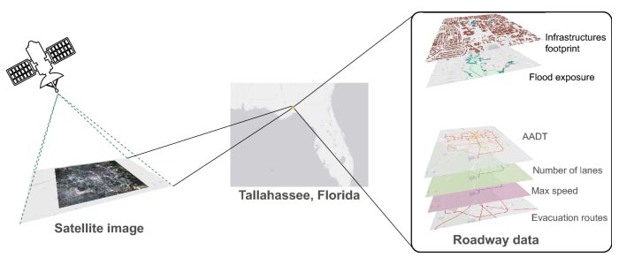
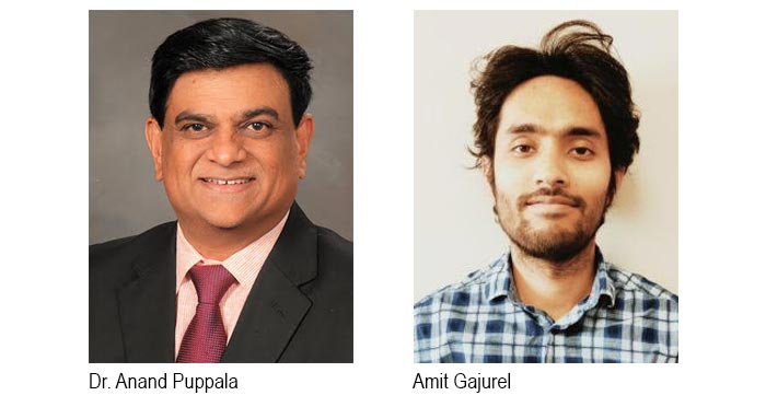
Led by Dr. Anand Puppala and doctoral student Amit Gajurel, both researchers at Texas A&M University are working on a new method of monitoring infrastructure using remote synthetic aperture radar (SAR) detection systems. SAR allows researchers to inspect and characterize pavements, retaining walls and embankments from space and can help determine if there are faults that need to be further inspected for repair, saving valuable time.
“If a given area would normally take five days to complete (between studying the data and determining large and small fault areas) when using satellites, we could actually look at the data and make the same determinations in just two days, which can be very useful in saving time”,
said Puppala, professor of the A.P. and Florence Wiley Chair in the Department of Civil and Environmental Engineering at Zachry.
In addition to saving agencies time on repairs and preventive measures, the use of satellites to monitor infrastructure and pavement conditions has the potential to reduce costs associated with managing road infrastructure assets.
“We are developing this to be used as a data source for the management of geotechnical assets and analyzing how to integrate these remote sensing data into the management of these assets,” said Gajurel. “In fact, we can use SAR data to manage geotechnical assets. This could be a great method for organizations looking for a cost-effective way to manage these types of assets.”
SAR remote sensing technology has been used to study geomorphological changes and sudden movements such as earthquakes and landslides.
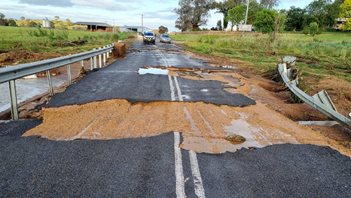
“When there is damage due to a natural disaster, authorities use satellite systems to determine what caused it. We recently started using this method to look at transportation infrastructure, including highway embankments, roads, and even airport runways,” said Puppala, who also serves as director of the Center for Infrastructure Renewal at Texas A&M University.
As most doctors and patients would agree, preventive medicine is a better option than responding to an emergency. Preventive care gives doctors more time to create the best plan for their patients.
In the same way, by incorporating infrastructure health data from SAR technology, asset managers can be proactive in repairing any faults and budgeting for potential problems that can save time and money that would otherwise be wasted.
